Real-world application
Transforming Industries with Actionable Intelligence
Our solutions and services come to life in their real-world application. Across every sector, we are helping organizations solve complex challenges, optimize their operations, and build a more resilient future. Explore these use cases to see how our expertise can be put to work for you.
OUR RECENT PROJECT
EXPLORE RECENT PROJECTS
From the power sector to cyber defense, geospatial analytics to open‑source platforms every project is a leap toward smarter, secure, and scalable solutions.

COMMUNICATE WITH US
Urban Development: Building the Cities of Tomorrow
Our solutions provide the intelligence needed for sustainable urban growth.
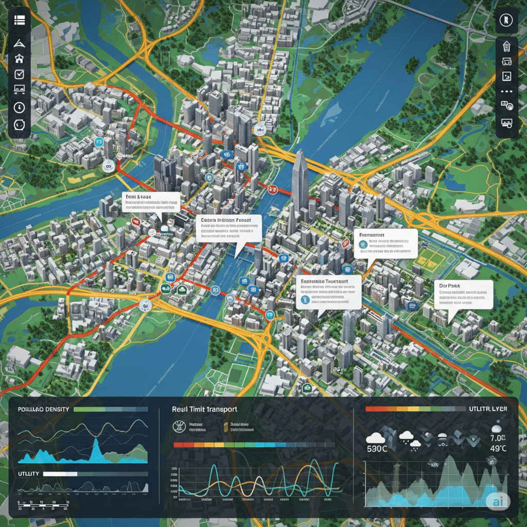
Digital Master Planning (Better Drones & Aimlocate): A city development authority commissioned us to create a complete digital master plan. We mapped every building, road, utility line, and open space. Using this data, combined with Aimlocate’s addressing system, the city was able to overhaul its property tax system, streamline utility management, and improve emergency service dispatch.
Construction Progress Monitoring (Better Drones): A real estate developer is using our weekly drone surveys to monitor the construction of a large residential complex. The high-resolution imagery and 3D models provide a clear, objective record of progress, helping them manage timelines, coordinate with contractors, and provide transparent updates to investors.

END-TO-END Intelligence for the entire power lifecycle.
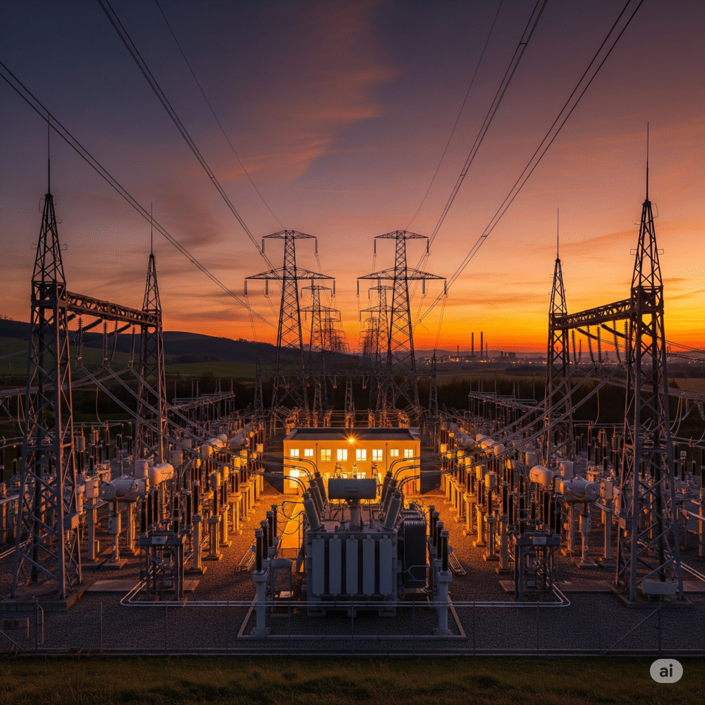
Power Sector: Optimizing the Grid from Generation to Consumer
Predictive Maintenance for Renewable Assets (Better Drones): A leading wind farm operator was experiencing unexpected downtime due to blade erosion. Using our drones for high-resolution visual inspection, we identified hairline cracks and erosion patterns invisible from the ground. The client was able to shift from a reactive to a predictive maintenance schedule, preventing catastrophic failures and increasing annual energy production.

Mining: Unearthing New Efficiencies and Enhancing Safety
Accurate Stockpile and Volumetric Management (Better Drones): A large open-pit mine needed a faster, safer way to measure its extracted materials. Our drones conducted a volumetric survey of their stockpiles, delivering volume calculations with over 99% accuracy in a fraction of the time of traditional ground-based methods. This improved inventory management and financial reconciliation. By deploying drones, the mine minimized human exposure to hazardous environments and reduced operational downtime. The high-resolution 3D data captured allowed for detailed monitoring of stockpile changes over time, enabling predictive insights and better resource planning.
Geospatial: Mapping the Future for a Connected World
Enabling Hyperlocal Logistics (Aimlocate): An e-commerce company needed to optimize its last-mile delivery in areas with informal or non-standard addresses. By integrating the Aimlocate Code, they created a precise, standardized addressing system for their entire delivery network. This resulted in faster delivery times, reduced failed delivery attempts, and improved customer satisfaction.


Security: Proactive Defense for Physical and Digital Assets
We offer a multi-layered approach to security in a complex world.
Upskilling Cyber Defense Teams (Purplesynapz): A government agency wanted to improve the real-world skills of its cybersecurity team. We provided access to our Purple Range, a hyper-realistic cyber warfare simulation platform.
Modernizing the Security Operations Center (SOC) (Picus): A financial institution needed to validate its multi-million dollar investment in security tools. Using our Breach and Attack Simulation (BAS) platform, we continuously tested their defenses against the latest threats.


