Revolutionizing Industrial & Mining Operations

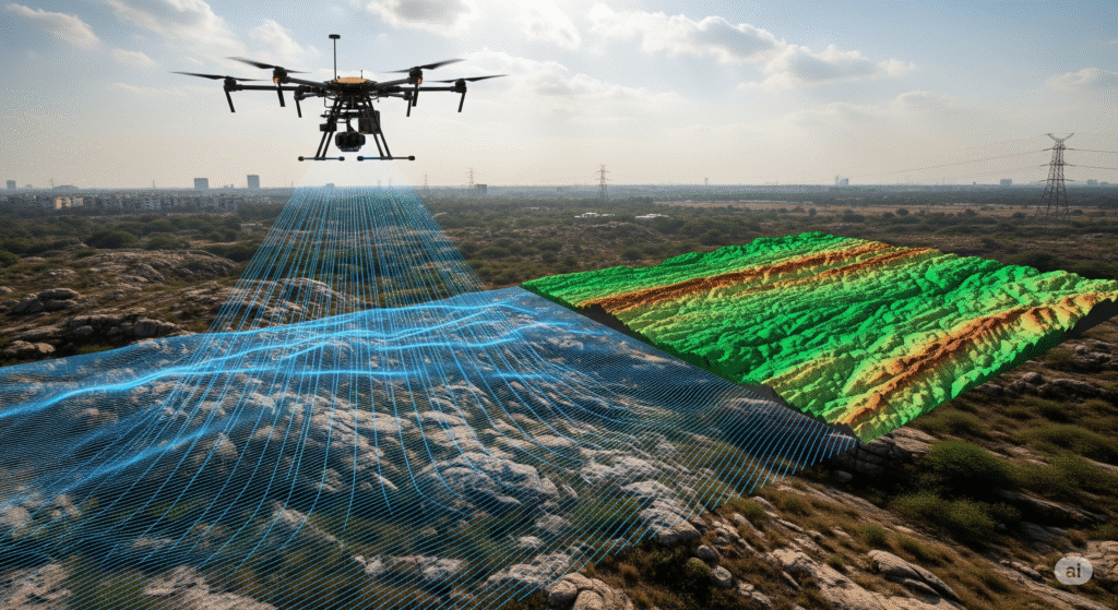
Advanced sensors like LiDAR, thermal, and high-resolution cameras
This platform revolutionizes industrial and mining operations by converting complex aerial data into actionable insights for smarter, more efficient decision-making. Utilizing advanced sensors like LiDAR, thermal, and high-resolution cameras, it captures high-precision data for comprehensive asset monitoring and terrain modeling. The system’s AI-driven analytics automate the generation of reports and predict potential equipment failures, enabling a proactive approach to maintenance. Through intuitive, persona-based dashboards, it fosters collaboration between teams by streamlining workflows for task assignment and repair tracking. This integrated approach to predictive maintenance ultimately leads to significant cost savings by reducing manpower needs and unnecessary site visits.

Intuitive Dashboards
Our platform features intuitive, persona-based dashboards that turn complex aerial data into actionable insights for smarter, faster decision-making.

Collaboration
Connect your analytics and field teams with a unified workflow for generating defect tickets, assigning tasks, and tracking repairs .

Asset Monitoring
Gain end-to-end visibility of your assets across the entire power cycle, from generation to grid, all from a single platform .

AI Analytics
Utilize AI-driven analytics to predict potential failures before they occur and automate the conversion of raw data into actionable reports.

Data Accuracy
Make decisions with confidence based on high-precision data captured by advanced LiDAR, thermal, and high-resolution visual sensors

Cost Savings
Lower your operational costs through predictive maintenance that reduces manpower needs, unnecessary site visits, and equipment deployment .
